Seeding the Machamba
Academic Work
Project Credit: Collaboration w/ Ashwin Nambiar, Joy You-Chiao Wu, and Ting Zhang
Year: 2020
Location: Beira, Sofala. Mozambique
Program: M.S. Architecture & Urban Design
School: Columbia University—Graduate School of Architecture Planning & Preservation
-
The city of Beira, in the fertile lowlands of central Mozambique, is located in the delta of the Pungwe River as it meets the Indian Ocean. Founded in 1887 as a port city, Beira is only a few meters above sea level. Rapid population growth has escalated from 42,265 inhabitants in 1950 to 530,604 in 2019, with an expected increase of an additional 250,000 residents by 2030. United Nations - World Population Prospects
In March of 2019, Cyclone Idai ravaged the city. It has been the worst storm on record in Mozambique, with heavy rains and strong winds that led to flash flooding, hundreds of deaths, and massive destruction of property and crops. In Beira alone, 90% of the buildings were damaged.
In its aftermath, a major humanitarian crisis unfolded with hundreds of thousands of people displaced as central Mozambique was transformed into a vast inland lake. A year later, recovery is ongoing and food insecurity remains widespread.
Beira has an extensive and integrated system of traditional agriculture that is under threat. Seeding the Machamba conceives this agricultural system as a productive and preventative flood infrastructure. We envision that this agricultural network could coordinate communities, organize the city, and be the key to recovery and ongoing resilience.
Goals
Consolidate and organize cooperatives at a city scale.
Protect social and ecological capital.
Empower women in agriculture.
Diversify income and create job opportunities.
Integrate adaptive, nature-based infrastructure.
Population growth and displacement from historically fertile lands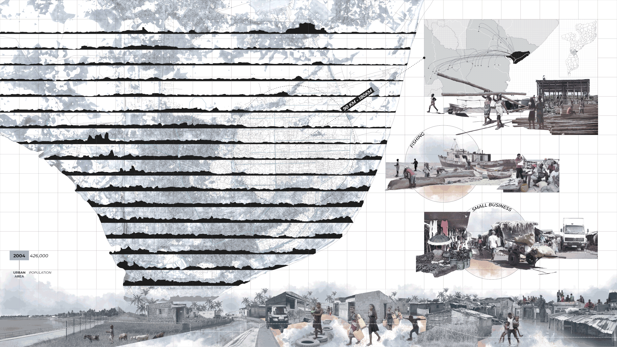
“Flooding” is a consequence of unplanned sprawl into low-lying agricultural land. The resettlement plan the government put in place (top right) disregards people’s livelihoods and defines “risk zones” in the city, instead of recognizing the potential in such places. As a result, the rate of maladaptive relocation remains high. There is a need for elevational programming that integrates with water, for future cyclones and urban growth.

Since before the colonial times, agricultural practices were embedded in the livelihoods of the people from Beira. This map depicts the correlation of the damaged areas of the city after the Cyclone Idai, with the 10 historical agricultural neighborhoods defined by the Green Zones Office. In 1987, about 88% of the agricultural land in the city was considered a machamba. People started organizing in women led cooperatives and, in 1990, the General Union of Coops became an independent Coop Company. Lack of support from the government disincentivized members to work together, but their agricultural practices remained in their machambas.
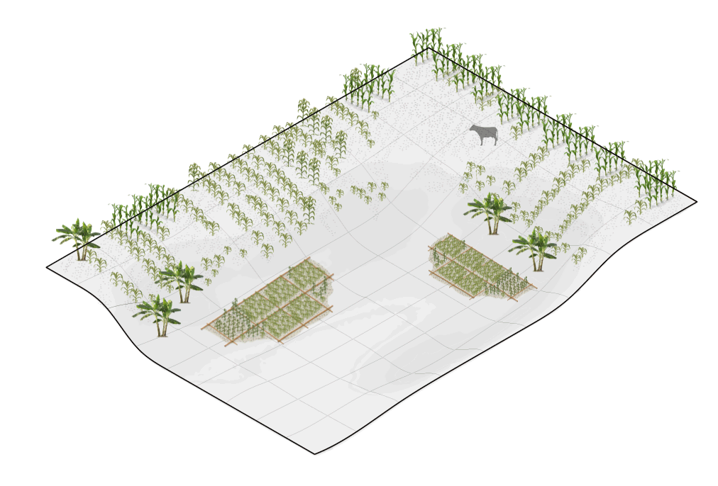
What is a machamba?ma•cham•ba
feminine noun [Mozambique]
(Swahili mashamba, plural of shamba, form, plantation, cultivated land, field)
Agricultural garden, where produce is mainly cultivated for self-consumption.
Machambas are embedded in the daily lives of the people of Beira and are mainly managed by women.
These year-round productive spatial devices are the result of collective local practices that have united communities through food sovereignty.
Smallholder farmers account for 95% of the country’s agricultural production.
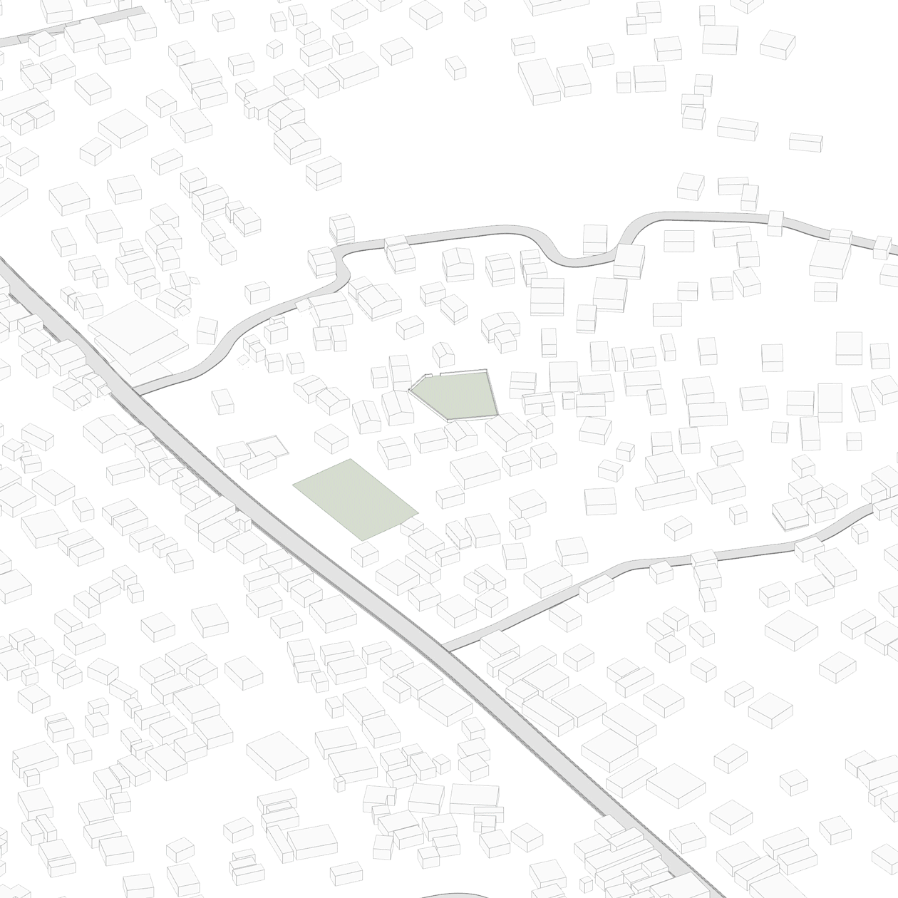
Machamba as a unit of changeToday, machambas work independently and are dispersed around the city.
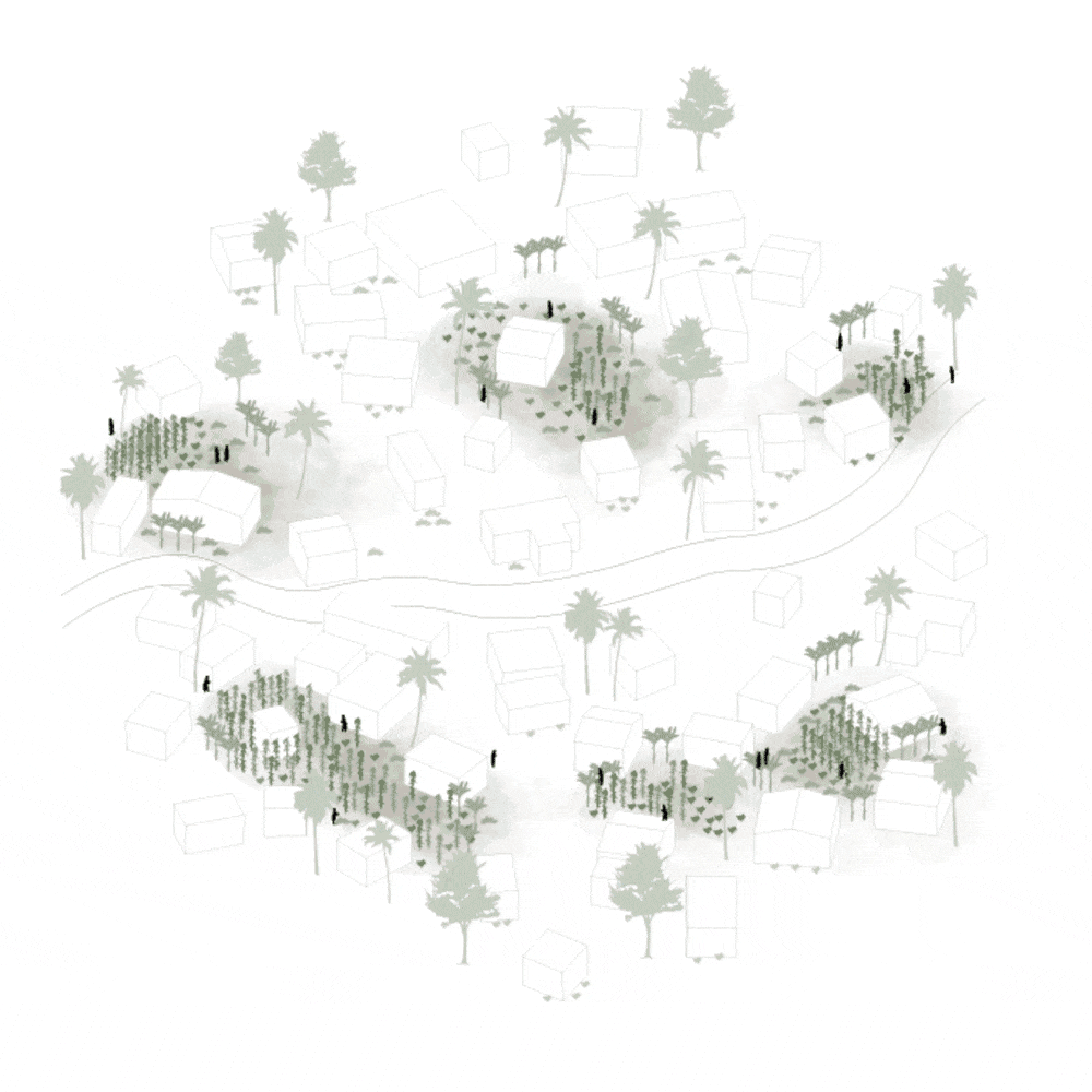
What if they worked together as an expansive and organizing water holding system?
Elevational Framework
We see the machambas’ dispersedness as an opportunity to become one water-holding system that follows and adapts to the natural streams of the city.

Elevational Strategies High grounds are densified with new typologies of housing and are equipped with public programs. Low grounds work as productive agriculture and preventative water retention lands. People in low grounds retreat to safe zones in the nearby highlands. These strategies can only be implemented if they are community-driven. The reestablishment of co-ops could be the starting point of this process.

Based on this water-holding system we propose three community based organizing frameworks to facilitate urban transformation according to different social contexts. The overall objective is to strategically retreat to safer zones combined with community empowerment and economic development.


Machamba networks in different altitudes and weather conditions
High Ground / Machambas become new centralities working as water holding nodes with resilient building typologies.

Low Ground / Cooperatives establish community facilities providing agro-training, seeds, irrigation construction training, materials, storage and transportation.
The future of machambas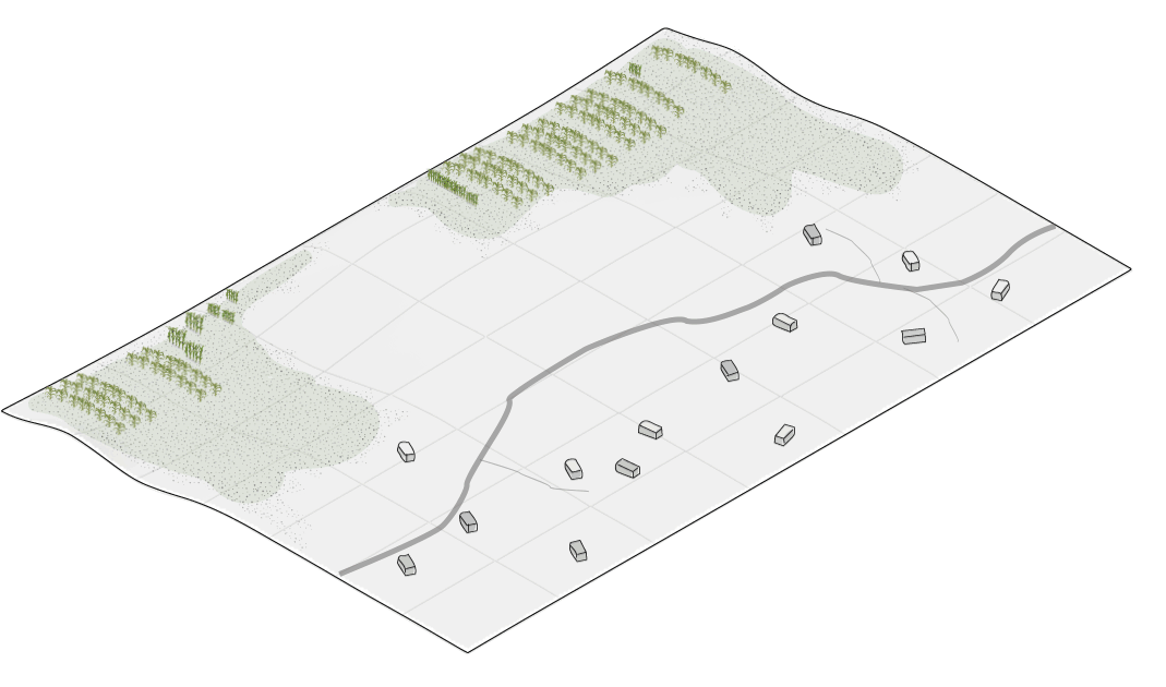
A city-wide network of machambas could foster land stewardship, promote upscale agriculture, and prevent housing encroachment into flood-prone fertile grounds.
Machambas could evolve into resilient boyant structures that thrive in water holding areas even during extreme weather conditions.